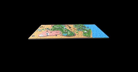
Geography
Loosely modeled after the United States west coast, the map extends from the California Bay Area to Las Vegas in Nevada.
When we had applied the low polygon style for the map as we had the floating islands, it did not have the same appeal, and it was necessary for find a supporting art style.
A similar approach was now needed for how we would view, navigate, and interact with this corrugated world, as well as how the transition between it and the floating islands would occur.
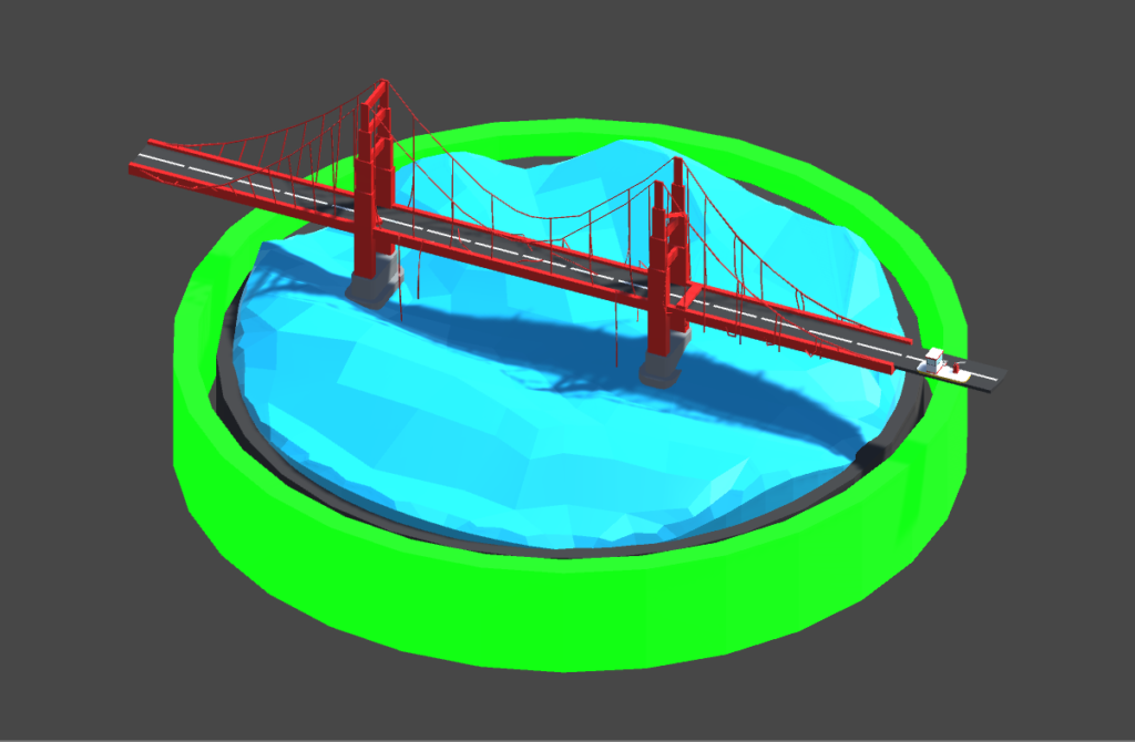
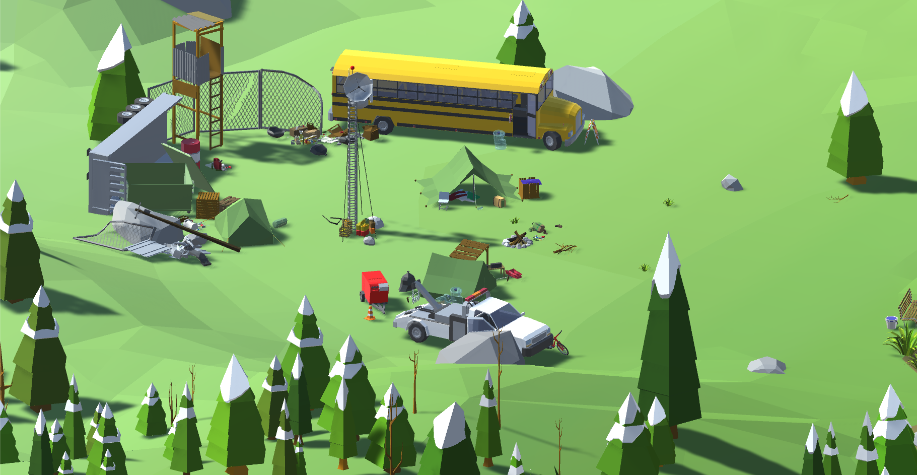
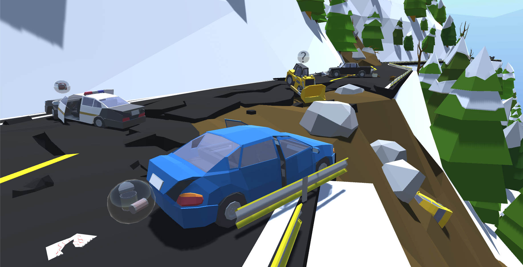
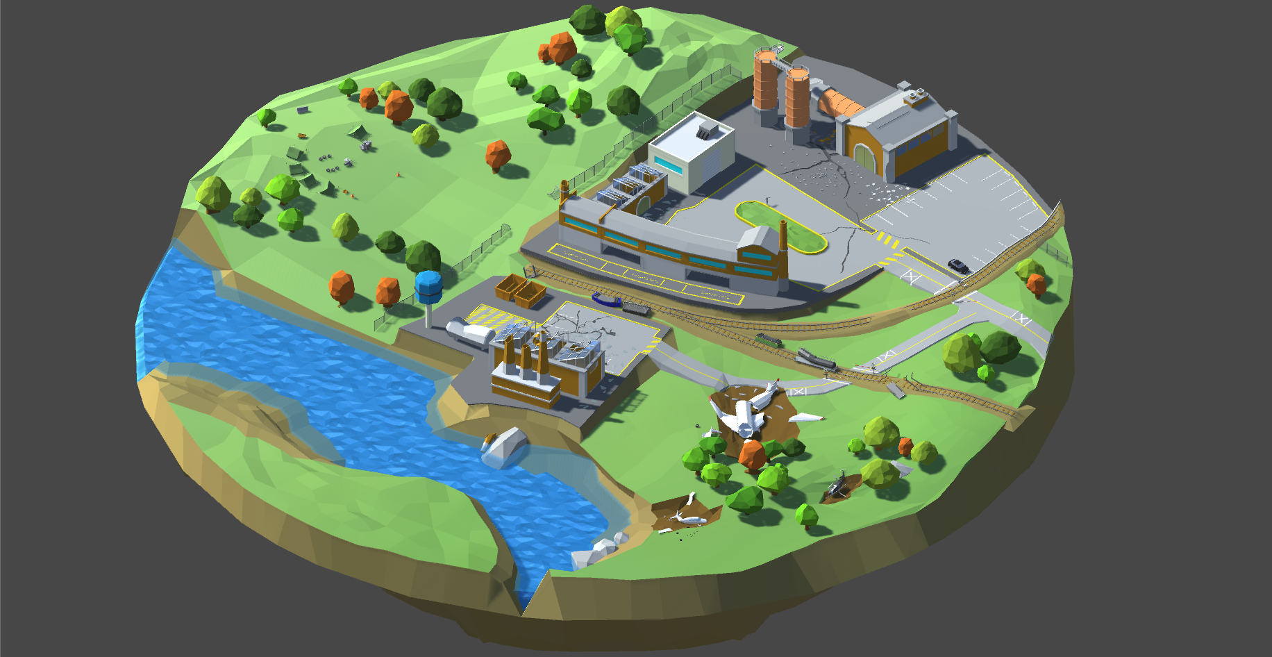
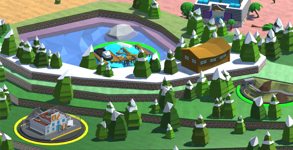
The different shapes and colors indicate purpose, function, status, and to some degree the inferred reward of points on the map for tasks undertaken there.
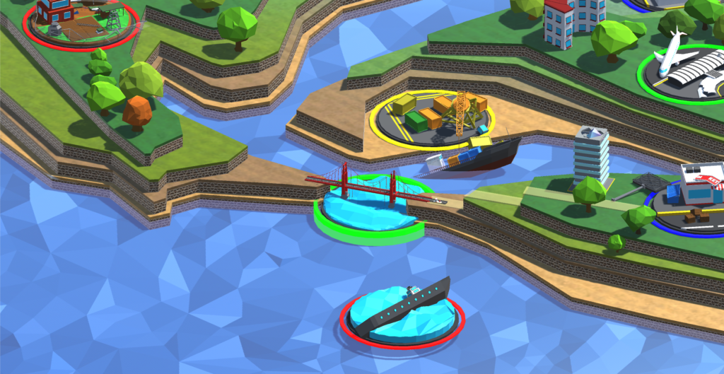
To maintain a minimal interface, points of interest reflect the corresponding environments and allow for smooth stylized loading.